If you're a lover of the great outdoors, but find yourself short on time to venture out of the city, look no further than the Bukit Gasing Forest Reserve. Nestled in the heart of Kuala Lumpur, this hidden gem offers a peaceful escape from the hustle and bustle of city life, and is the perfect spot for a quick hike or leisurely stroll.
With its lush greenery and winding trails, Bukit Gasing is a haven for nature enthusiasts and fitness fanatics alike. Whether you're looking to break a sweat on a challenging uphill climb, or simply want to take a relaxing walk through the forest, there's something for everyone here.
And if you're lucky, you may even spot some of the local wildlife, such as monkeys, squirrels, and a variety of bird species. So why not grab your hiking boots, pack a picnic, and spend the day exploring all that Bukit Gasing has to offer? With its stunning views and tranquil atmosphere, it's the perfect place to unwind and reconnect with nature, right in the heart of the city.
Read also: Hiking at Bukit Sri Bintang, Kepong
Hiking at Bukit Gasing Forest Park, Selangor
Bukit Gasing Forest Park
This local, somewhat hidden gem spans across 100 hectares, and although hedged in by development and residential neighbourhoods, it is both convenient and accessible for those seeking for a breath of fresh air amid the chaotic life.Here, you can find several trails catered for each level of fitness, and if you climb long enough, you will arrive at a vantage point that overlooks the subdued parts of Petaling Jaya, consisting of mostly houses and low-rise buildings.
 |
| Viewpoint at Bukit Gasing overlooking Petaling Jaya |
Map of Bukit Gasing Trails
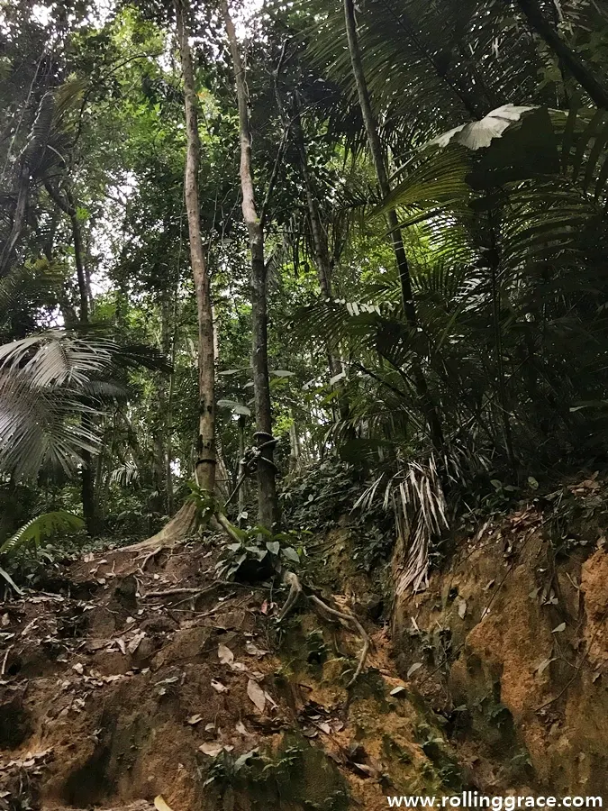
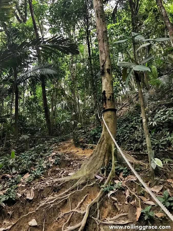
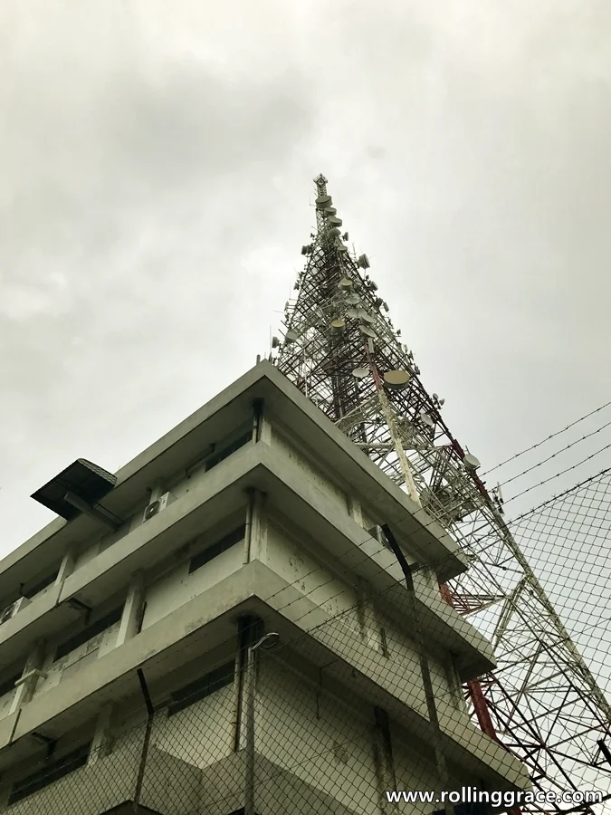
Despite having several trails, they are not properly pointed out but I guess that is what makes the hike interesting. Stick to the main path or take the road less travelled, turn left or right - trust your guts and just do it. Each trail ultimately brings you to the highest point at 160 meters. You will come across the Abu Baker slope towards the end of your climb, which is slightly more arduous (I call it exciting), where you’ll be required to hang out on a rope for a sharp, almost perpendicular incline.On your ascent, you may spot one or all of the following from afar: Maha Sivan Alayam (a Hindu temple), Masjid Jamek Sultan Abdul Aziz (a yellow-domed mosque), Wat Chetawan (a Thai Buddhist temple), and a tall hilltop watchtower.
 |
| A hilltop watchtower at Bukit Gasing |
 |
| Hiking at Bukit Gasing Forest Park, Selangor |
Bukit Gasing Hiking Tips
Keep in mind that it gets busier on weekends and in the evening. Put on a pair of good hiking shoes as certain parts could get challenging (we’re talking mud and steep, slippery slopes). There is a suspension bridge, but it has been closed for repair work. Since facilities are non-existent here, you are advised to come with an empty bladder and a full water bottle.Difficulty: Easy to intermediate depending on trail
Distance: 4 kilometres
Duration: 1-2 hours depending on trail
Entrance fee: Free
What you'll need: Mosquito repellent and water
How to Get to Bukit Gasing
If you're looking to explore the lush greenery and scenic trails of this beautiful hill, then you're in luck! To get to the starting point of Bukit Gasing, all you need to do is search for this address on Waze or Google Maps: Jalan Tanjong 5/4, Section 5, Bkt Gasing, Petaling Jaya.
Once you arrive, take a deep breath of fresh air and prepare to embark on an adventure through the winding paths and picturesque scenery of Bukit Gasing. Whether you're a seasoned hiker or just looking for a leisurely stroll, there's something for everyone here.
 |
| Bukit Gasing trails |
 |
| Hiking at Bukit Gasing Forest Park, Selangor |
 |
| Steep climb at the middle section of the Bukit Gasing trail |
 |
| Hiking at Bukit Gasing Forest Park, Selangor |
Bukit Gasing Entrance Fee
Bukit Gasing Forest Park, located in Selangor, Malaysia, is a nature lover's paradise that offers a range of hiking trails through lush greenery and stunning views of the surrounding landscape, all without any entry fees. Whether you're a seasoned hiker or just looking to explore the great outdoors, the park's trails cater to all skill levels, making it the perfect destination for those seeking adventure on a budget.
Hiking at Bukit Gasing Forest Park in Selangor is an experience that should not be missed by nature lovers and outdoor enthusiasts. The park's lush greenery, diverse wildlife, and scenic trails offer a refreshing escape from the hustle and bustle of city life.
Whether you're a seasoned hiker or a beginner, Bukit Gasing Forest Park has something for everyone. So pack your hiking gear, grab your friends and family, and head over to Bukit Gasing Forest Park for an unforgettable adventure in the heart of Selangor.
So, what are you waiting for? Grab your hiking boots, pack a few snacks and plenty of water, and head on over to Bukit Gasing for an unforgettable adventure!
Hiking at Bukit Gasing Forest Park, Selangor
 Reviewed by Rolling Grace
on
June 01, 2023
Rating:
 Reviewed by Rolling Grace
on
June 01, 2023
Rating:


This comment has been removed by a blog administrator.
ReplyDeleteThis comment has been removed by a blog administrator.
ReplyDelete